Spiti's two routes in: Shimla-Kinnaur or Manali-Kunzum
Two roads lead into Spiti valley from the Himachal side: one from Shimla through Kinnaur, one from Manali over Kunzum La. Most guides give you the distance for each and stop there, as if the two routes asked the same thing of a rider with a different number on the odometer. They don't. One climbs you there gradually over four hundred-odd kilometres. The other puts nearly the same altitude gain into a single pass that shuts for most of the year, and can shut on you again even inside the months it's supposed to be open.
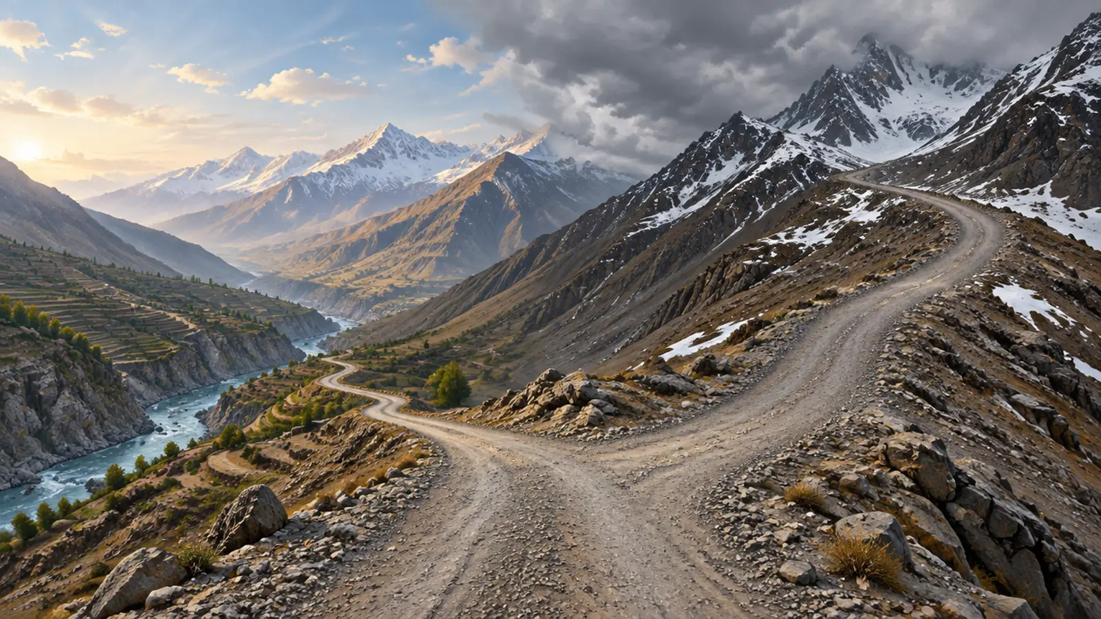
The climb happens differently on each side
Shimla sits at 2,398 m. The road climbs through Narkanda and Rampur Bushahr to Reckong Peo, which Himachal Pradesh's own Kinnaur district site gives as 2,670 m and a widely used reference gives as 2,290 m. The two don't agree and neither looks like a typo, so both are worth knowing. From there the road keeps rising gently to Nako, where the district site and the state tourism site agree on 3,662 to 3,663 m, and settles into Kaza at roughly 3,650 m. That's around 1,250 m of net gain spread across more than 400 km.
Manali sits at 2,050 m. The Atal Tunnel's south portal, a short ride out of town, is already at 3,060 m. Past it the road runs through Gramphu and Batal to Kunzum La, whose height depends on who you ask: 4,551 m by the figure quoted most often, 4,590 m by a 2019 Tribune report, and a third figure from Kaza's own Wikipedia page sitting in between. Whichever number is right, the road puts most of that climb into about 130 km before dropping back to Kaza. Same destination, roughly the same total ascent, a third of the distance to do it in.
The odometer tells the same story from a different angle. Sources put Shimla to Kaza via Kinnaur at somewhere between 412 and 422 km; nobody publishes a government milestone table for either route, so the range is the honest answer rather than a single figure. Manali to Kaza via Kunzum comes out shorter on paper, somewhere between 182 and 225 km depending on which alignment and which source you use. On the road, that gap closes fast: the shorter route's surface can make it take as long as the longer one, which is the whole subject of the next two sections.
Kunzum La doesn't open on a date you can plan around
Look at the last five winters and there's no fixed pattern, only a wide one. The pass shut on 23 September 2018 and didn't reopen until 30 June 2019, nine months later. It shut again in mid-October 2022 and reopened 30 May 2023, after a 69-day clearance operation. It was officially closed on 23 November 2024 under the Disaster Management Act and reopened for four-wheel-drive traffic only by late May 2025. It shut again in the first week of November 2025 and was reported open by 20 May 2026. Wikipedia's own page on the highway puts the range at six to nine months closed a year, which matches what's actually happened better than any single date would.
It isn't only a winter problem. An early snowfall shut the pass on 6 October 2025, well inside what should have been the riding season, and it took eight days to reopen it for four-wheel-drive traffic alone.
If it shuts while you're on the far side, there's one way out
This is not a wait-it-out situation. When Himachal Pradesh closed the pass in November 2024, the same order advised travellers to use the Kinnaur route instead. Tourism operators said the same thing during the nine-month closure in 2018-19: no option but to leave Spiti through Kinnaur. If Kunzum shuts on you mid-trip, your way back to Manali isn't a backtrack over the pass you rode in on. It's the Kinnaur road out to Shimla, a different highway in a different direction, with days added to the ride.
Kinnaur's road doesn't close for winter, but it slides
The Shimla-Kinnaur road stays open through the year in a way Kunzum can't, because nothing on it crosses a pass anywhere near 4,500 m. What it does instead is fail in smaller pieces, more often, mostly around Nigulsari on NH-5. A 400-metre stretch there washed out on 8 September 2023 and blocked the road for about ten days; two more slides hit the same stretch that October. A 70-metre section collapsed again on 18 September 2024, cutting Kinnaur off from Shimla while it was repaired. Rain triggered another blockage there on 2 September 2025. None of these closures ran to months. Each one closed the only road through for days at a time, usually without much warning.
The Gramphu-Batal stretch has its own reputation
Even inside Kunzum's open season, the roughly 47 km between Gramphu and Batal is unpaved in places and crosses meltwater streams that rise through the day, worst in the monsoon months. On 15-16 July 2024 a bus carrying 44 passengers got stuck in mud short of the pass and had to be rescued by district police overnight. The district then barred tourist vehicles on that stretch after 4 pm. It's the clearest sign that open and easy aren't the same word on this route, and that crossing before midday isn't a suggestion.
Permits depend on which way you're headed, and who's asking
Indian riders need no permit for the Kinnaur road itself, though checkposts, commonly at places like Jangi, log ID and vehicle papers. Foreign nationals face a different rule: the stretch between the inner line and the international border in upper Kinnaur is a declared protected area, and Himachal Pradesh's own Kinnaur district guidelines put the fee at Rs 200 per person, processed through the e-Governance Centre and arranged through the SDM office at Kalpa or Reckong Peo. That is a separate process from the Spiti permit itself, and its fee has been published at other figures elsewhere, so confirm the current one at the office rather than budgeting against a number found online. It's paperwork, not a route decision, but it belongs to the Kinnaur side specifically.
Side by side
| Via Kinnaur (from Shimla) | Via Kunzum (from Manali) | |
|---|---|---|
| Distance | About 412 to 422 km, source dependent | About 182 to 225 km, source and alignment dependent |
| High point | Around 3,650 to 3,663 m near Nako and Kaza, no single big pass | Kunzum La, 4,551 m by the most common figure, disputed up to 4,590 m |
| Season | Practicable most of the year; closes for days at a time after landslides | Shut roughly 6 to 9 months a year; can also shut mid-season without warning |
| Chronic hazard | Landslides, mainly around Nigulsari on NH-5 | The unpaved, water-crossing Gramphu-Batal stretch |
| If you're stuck on the Spiti side | A few hours' delay, not a route change | No detour exists; you wait for BRO or go out via Kinnaur instead |
Before you commit to a way in
Run these six checks before you pick a route
- Check Kunzum La's current status before treating the Manali side as anything but conditional; even July to September isn't a guarantee.
- If Kunzum is your planned way back to Manali, have a Kinnaur exit ready in the plan, not just in your head.
- Cross Gramphu to Batal before midday. Afternoon meltwater raises every stream on that stretch.
- Carry ID and vehicle papers for Kinnaur's checkposts even if you're Indian and need no permit there.
- If you're a foreign rider, confirm your Kinnaur protected-area permit and its current fee at Reckong Peo or Kalpa before you leave, not after.
- Don't schedule a single day for either route. Road condition, not distance, sets your time.
How we run it
Our own Spiti route avoids making this choice twice. We enter through Kinnaur, cross Spiti, and continue over Kunzum La onward to Chandratal and Pangi rather than turning back the way we came, so a pass closure mid-trip isn't a return-journey problem for the group. That's a routing decision, not a guarantee about the pass's behaviour; we watch its status the same as anyone else would, and the itinerary is built so the group is never depending on Kunzum to get home.
For the months each route is realistically open, not just legally open, see our season-by-season breakdown. This page is about what the two roads demand. That one is about when to ride them.
Questions riders ask
Which route into Spiti is easier for a first-time Himalayan rider?
Neither is easy, but Kinnaur's gradual climb over 400-plus kilometres gives your body more time to adjust than Manali's near-identical altitude gain packed into about 130 km to Kunzum La.
Can I ride in via one route and out via the other?
Yes, and it's the common way to do it, a loop rather than an out-and-back. Just confirm Kunzum La is actually open before you plan it as your exit; it can shut with only days of warning, even in season.
Is the Manali route really shorter?
On paper, yes: roughly 182 to 225 km against Kinnaur's 412 to 422 km, though sources don't agree on the exact figure for either. In practice, road condition on the Gramphu-Batal stretch can erase that advantage.
What happens if Kunzum La closes while I'm already in Spiti?
It isn't a wait-it-out problem. Himachal Pradesh's own November 2024 closure order for the pass named the Kinnaur route as the advised alternative, and tourism operators reported the same thing during the nine-month closure of 2018 to 2019.
Do I need a permit to ride through Kinnaur?
Indian nationals don't, though checkposts log ID and vehicle papers. Foreign nationals need a protected-area permit for the zone near the international border in upper Kinnaur, arranged at Reckong Peo or Kalpa.
Sources
- Himachal Pradesh Government, District Kinnaur official website, "Reckong Peo", tourist-place page, undated, read 29 September 2026: 2,670 m, 235 km from Shimla. Link
- Wikipedia, "Reckong Peo", read 29 September 2026: 2,290 m (7,513 ft), 260 km from Shimla, a figure that conflicts with the Kinnaur district site. Link
- Himachal Pradesh Government, District Kinnaur official website, "Nako", tourist-place page, undated, read 29 September 2026: 3,663 m, 119 km from Kalpa. Link
- Shimla Municipal Corporation, "Geographical Structure", undated, read 29 September 2026: Shimla at a mean elevation of 2,397.59 m. Link
- Wikipedia, "Kaza, Himachal Pradesh", read 29 September 2026: Kaza at 3,650 m (11,980 ft), and Kunzum La given as 14,928 ft on the same page. Link
- The News Himachal, "Highway collapse at Nigulsari cutting off Kinnaur from Shimla", 18 September 2024: a 70-metre stretch of NH-5 collapsing in Sector 26, Nigulsari. Link
- The Tribune, "3rd landslide on NH-5 at Kinnaur in a month", October 2023: the 8 September 2023 washout of a 400-metre stretch near Nigulsari, blocked about 10 days, and two further slides on 5 and 7 October 2023 in the same area. Link
- Social News XYZ, "Kinnaur: Stones and landslide debris block NH-5 near Nigulsari", 2 September 2025: a rainfall-triggered landslide blocking NH-5. Link
- Himachal Pradesh Government, District Kinnaur official website, "Tourist Guidelines", undated, read 29 September 2026: the protected-area permit for foreign nationals in upper Kinnaur, the Rs 200 per-person fee through the e-Governance Centre, and the SDM Kalpa/Reckong Peo contact. Link
- Wikipedia, "Manali, Himachal Pradesh", read 29 September 2026: Manali at 2,050 m (6,730 ft). Link
- Press Information Bureau, Government of India, Atal Tunnel factsheet, March 2022: the south portal at 3,060 m and the north portal at 3,071 m. Link
- Wikipedia, "Kunzum Pass", read 29 September 2026: 4,551 m (14,931 ft), the figure quoted most often. Link
- The Tribune, "Kunzum Pass opens after 9 months", 1 July 2019: the pass given at 15,060 ft (about 4,590 m), and the 2018-19 closure from 23 September 2018 to 30 June 2019. Link
- The Tribune, "Gramphu-Kaza road restored after over 7 months", 31 May 2023: the mid-October 2022 closure, the 30 May 2023 reopening, and the 69-day clearance operation that started 21 March 2023. Link
- The Tribune, "Gramphu-Kaza highway officially closed for traffic via Kunzum Pass", 23 November 2024: the official closure order under the Disaster Management Act, and the advisory to use the Kinnaur route instead. Link
- The Tribune, "Sumdo-Kaza-Gramphu highway thrown open from Manali side", 30 May 2025: the reopening of the 2024-25 winter closure, for four-wheel-drive traffic. Link
- The Tribune, "Kunzum Pass thrown open for 4x4 vehicles; residents relieved", 14 October 2025: the pass shutting on 6 October 2025 after early snowfall and reopening for 4x4 traffic only eight days later. Link
- The Tribune, "Himachal: Kunzum Pass route to Spiti opens after 6-month closure", 20 May 2026: the 2025-26 winter closure from the first week of November 2025 to May 2026. Link
- Wikipedia, "National Highway 505 (India)", read 29 September 2026: the Kaza-Gramphu stretch closing 6 to 9 months a year, and the Batal-Chhatru section described as largely unpaved and impassable in winter. Link
- The Tribune, "44 tourists stranded near Kunzum Pass in Himachal Pradesh's Lahaul and Spiti district rescued", 16 July 2024: 44 passengers stuck in mud near the pass on 15-16 July 2024, rescued overnight, and the resulting 4 pm traffic curfew on the Koksar-Kaza and Losar-Koksar stretches. Link
- Wikipedia, "Losar Khas", read 29 September 2026: Losar at 4,090 m (13,420 ft). Link
Col. Shekhar Attri, SM (Retd.)
@adv_pathfinderFounder and expedition commander of ADV Pathfinder. 20+ years in the Indian Army's Para Special Forces, Sena Medal. About the founder
Go deeper
Ride it with us
Have a question about this?
Ask us directly - no account needed, and we answer with facts about your dates.